High Resolution Bathymetric Mapping & Habitat Surveys
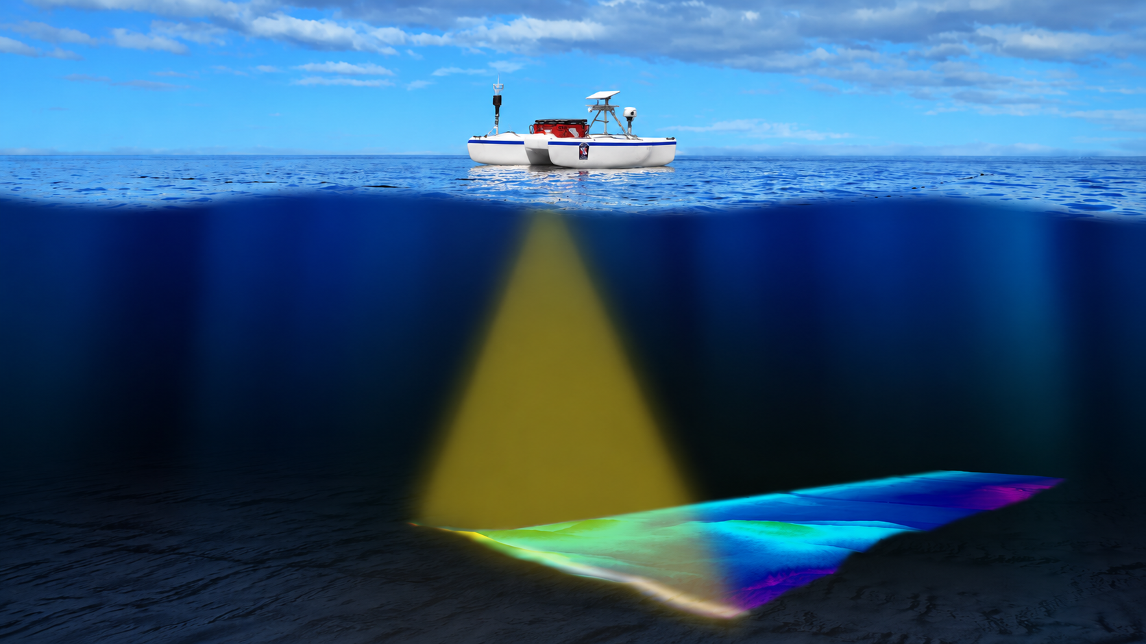
We provide academic researchers and government agencies with high resolution underwater 3D mapping and bathymetric survey services optimized for marine science, environmental compliance, and coastal resource management. Utilizing advanced Autonomous Surface Vehicles (USVs), we deliver precise, high density data collection across coastal zones, lakes, rivers, and nearshore environments.
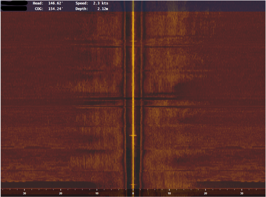
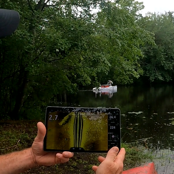
Our specialized teams manage rapid field deployment to capture detailed sub surface topography, supporting NSF funded foundational research, NOAA aligned habitat modeling, and EPA compliant environmental impact assessments. For collaborative and remote research, we provide a remote live sonar view, allowing your agency or university team to visualize underwater structures and bathymetry in real time as the mission unfolds.
Ultra Shallow Draft & Intertidal Operational Access
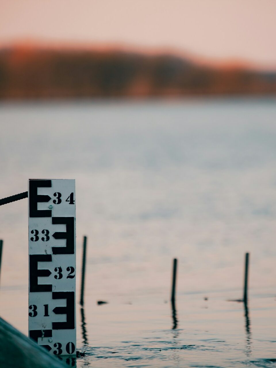
Traditional manned research vessels are fundamentally limited by depth constraints, often leaving critical coastal margins, wetlands, and intertidal zones unmapped. Our platform features an ultra shallow draft design, allowing for safe and reliable navigation through highly restrictive, shallow water environments that are entirely inaccessible to standard marine craft.
This specialized micro draft capability enables researchers to close the data gap in critical transitional zones, including shallow estuaries, riverbeds, and marsh boundaries. By operating seamlessly in water depths that would ground other research vessels, we provide unprecedented data continuity from deep open water directly to the shoreline, safeguarding expensive scientific payloads from grounding risks.
Extended Endurance Marine Operations & Live Telemetry
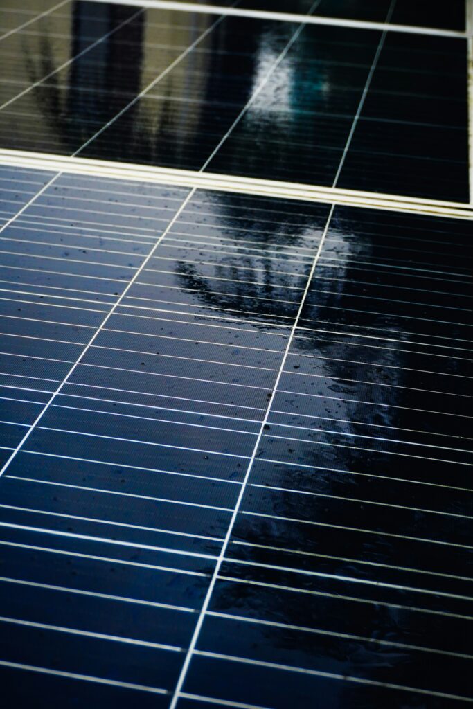
We offer long endurance marine robotics solutions designed for continuous, long term data collection and extended environmental monitoring campaigns. Powered by solar assisted electric propulsion, our vessels remain on water for prolonged periods, capturing uninterrupted datasets over large spatial scales to support long term ecological research (LTER) without the disruption of frequent refueling.
Our operations integrate 3D side scan sonar, 360° situational awareness, and aerial drone coordination to capture comprehensive data simultaneously above and below the water surface. We deliver a real time camera stream directly from the vessel, giving researchers immediate visual ground truthing of surface conditions. For deeper sub surface validation, our capabilities extend up to 130 meters in depth using Remotely Operated Vehicles (ROVs).
Low Impact, Sensor Optimized Data Collection
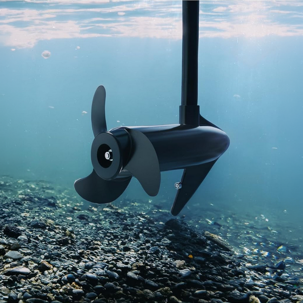
Our survey services are engineered to protect sensitive marine ecosystems while maximizing scientific data integrity. Operating with an ultra quiet electric propulsion architecture, our vessels minimize cavitation, vibration, and mechanical noise. This low acoustic profile eliminates acoustic interference, maximizing the signal to noise ratio for sensitive hydroacoustic sensors and sonar mapping systems.
With zero direct emissions, our operations are fully compliant with strict federal and state environmental regulations, making them ideal for wildlife sanctuaries, protected marine areas, and drinking water reservoirs. This reliable electric design ensures high mission success rates and consistent data continuity for academic baselines and NEPA related compliance reporting.
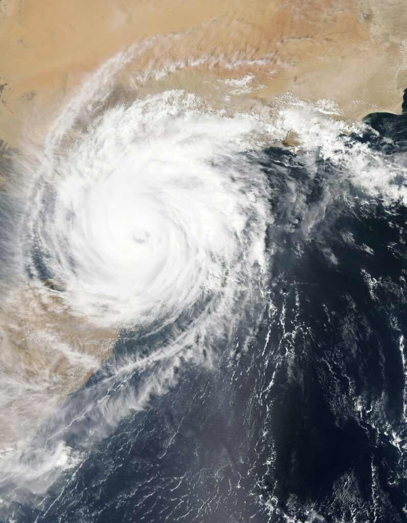
Realtime Meteorological & Environmental Stream
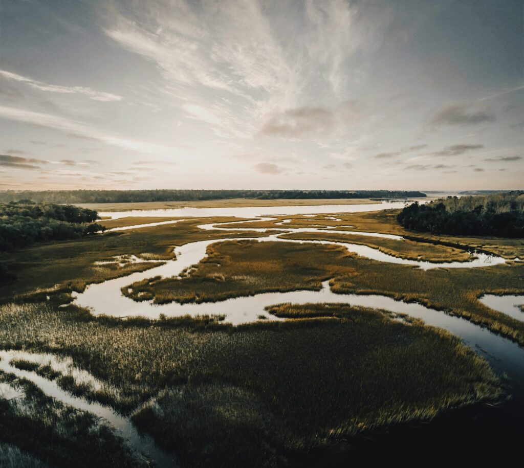
We provide continuous, real time environmental and weather monitoring services to track dynamic climate conditions during active field operations. Rather than relying on delayed post mission downloads, we provide a real time environmental data stream and live telemetry, giving your research team or agency immediate access to critical atmospheric and surface data for remote observation and instant data integration.
Our Environmental Sensing & Live Reporting Streams Include:
- Wind Dynamics: Realtime wind speed and wind direction tracking.
- Atmospheric Conditions: Instantaneous air temperature, relative humidity, and barometric pressure data.
- Precipitation Data: Immediate rainfall detection and precipitation monitoring.
- Solar Diagnostics: High precision solar radiation intensity and UV index tracking.
20+
hours of continous operation*
60+
Nautical Miles range*
*Under optimal conditions with low speed operation and continuous solar charging
Our Services
- Hydrographic surveys
- Environmental monitoring
- Marine science research
- Water quality sampling
- Search and rescue support
- Harbor inspection
- Infrastructure inspection
- Coastal mapping
- Wildlife observation
- Autonomous data collection